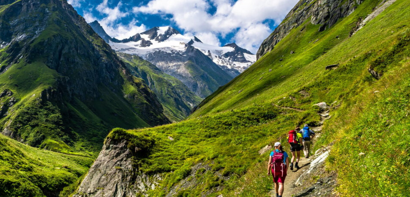
Augmented Reality in Picos de Europa: Hiking 4.0
Spain has established itself as the European laboratory for technological hiking. In the heart of the Cantabrian Mountains, Picos de Europa now uses Augmented Reality (AR) to transform legendary routes—like the Cares Gorge or the ascent of Naranjo de Bulnes—into three-dimensional educational experiences.
Layers of Information: The Landscape That “Speaks”
- Living Geology: By pointing a device at the limestone walls of the Cares Gorge, AR reveals the tectonic forces that folded these mountains 300 million years ago.
- Windows to the Past: Technology allows users to identify extinct or displaced species, such as the bucardo (Pyrenean ibex), projecting their silhouettes into their former habitats.
- Real-Time Topography: Apps now offer historical climbing routes traced directly onto the rock of Naranjo de Bulnes as you view it from the Camarmeña lookout.
Safety 4.0: The End of “Shadow Zones”
In 2026, dependence on terrestrial towers has faded thanks to direct-to-device satellite connectivity. New geolocation systems do more than send SOS coordinates; they transmit constant “life packets.” This data includes planned vs. actual routes and hyper-local weather alerts projected directly onto the user’s AR interface if they stray from the safe path.
The New Adventurer Profile
- Mountain Techies: Users seeking maximum performance from their gadgets and data-driven progression.
- Interactive Families: Where AR acts as a “gamifier,” turning a hike into a botanical or historical treasure hunt, collecting digital badges for identifying protected flora or ancient zinc mine ruins.